Your cart is currently empty!
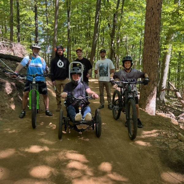
Mountain Bike Advocacy
We advocate for access to trails across NJ through policy changes at state and local levels. Check out some of our projects!
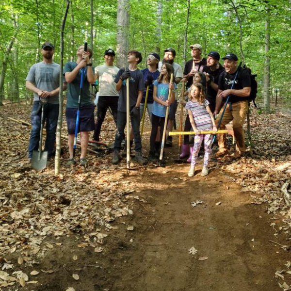
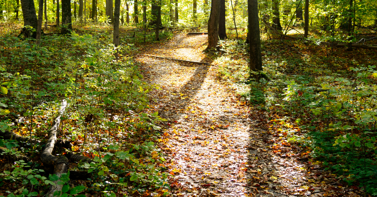
Sustainable Trail Building
By designing and constructing sustainable trails JORBA ensures users are able to enjoy a natural area with minimal impact to the ecosystem and meeting the management objectives.
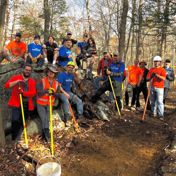
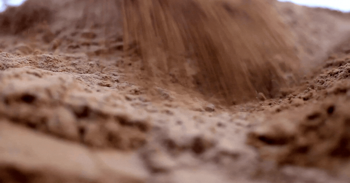
Trail Maintenance
JORBA works with park management to provide volunteers for trail maintenance.
Join the Crew
JORBA is powered by volunteers, nearly each weekend volunteer trail crews are working across the state to maintain trails. Trail maintenance not your thing? We have teams and committees that need help with administration, fundraising and other tasks. Becoming a member supports JORBA’s efforts and your donations make it all happen. Join the crew.
Jersey Off Road Bicycle Association (JORBA) is a 501(c)3 non-profit organization which is dedicated to serving off road cyclists as a member of equal standing within the trail user community. Founded in 1999, our focus is to build and maintain sustainable multi-use trails, organize and encourage volunteerism and responsibility, and advocate and foster mountain biking as a healthy, environmentally sound, and sustainable activity.
JORBA
Mountain Bike Trail Association
Recent Articles
Our latest posts and articles
-
Trail Maintenance @lewmo Sunday 4.21 845am
Sorry for the very short notice, but we are having a trail maintenance day this coming Sunday. going to be finishing off the new…
-
Mercer TM – Saturday 4/20
Hi Folks, Mercer TM is this Saturday 4/20/24 Weather will be good. Come on out and help repair the trails you ride! We have…
-
Wildcat Ridge Southern Parking Lot will be Closed March 27-29, 2024 for tree removal
The Wildcat Ridge WMA southern parking lot on Green Pond Road, Rockaway, Morris County will be CLOSED from Wednesday, March 27 through Friday, March 29, 2024,…
-
Create Trail Day Event Post on JORBA Website.
Prerequisites Before you can post on JORBA you will need to contact chapters@jorba.org and request permission. Once granted we will update your account to…